The Center-Periphery Divide: Performance Auditing and Systems Thinking in Costa Rica’s Intermediate Cities
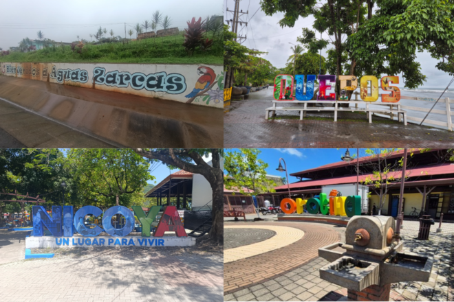
Authors: Laskmi Barrantes Ceciliano, Adriana Badilla Fuentes, José Roberto González Chaves, Contraloría General de la República de Costa Rica
Introduction
In recent years, intermediate cities have emerged as critical drivers of regional development, yet evaluating their public services poses unique challenges for Supreme Audit Institutions (SAIs). To address this gap, Costa Rica’s SAI developed and implemented an innovative performance audit methodology specifically tailored to these distinct urban centers. This specialized framework advances traditional performance auditing by integrating a pragmatic assessment of public value, equity, and sustainable development within decentralized contexts.
Implemented in two sequential phases between 2024 and 2025, the methodology proved highly scalable. The initial 2024 audit evaluated the quality, timeliness, and future supply of six essential public services—potable water, electricity, solid waste collection, mobility, wastewater treatment, and telecommunications—across seven intermediate cities, covering operations from 2022 to 2023. This phase directly targeted reducing service gaps for vulnerable populations and aligning local governance with SDGs 6, 7, and 11.
Building on these insights, the 2025 audit expanded its scope both geographically (incorporating four additional cities) and sectorally, integrating education and healthcare into the evaluation for the 2023–2024 period. By focusing on practical, adaptable auditing tools, this two-phased approach not only drove measurable public value in Costa Rica but also established a replicable blueprint for other SAIs looking to audit decentralized public service delivery.
Methods
To evaluate the effectiveness and equity of public service coverage, the audits combined advanced data analytics, geospatial technology, and systemic analysis. This hybrid approach allowed the SAI to overcome a critical data limitation common to many public sector audits: the absence of recent national census data.
The first component of the methodology involved geospatial analysis and footprint definition. To delineate the boundaries of intermediate cities based on their visible urban footprints, the study applied convex hull geoprocessing to georeferenced data. These spatial data were then integrated using QGIS, linking public services to precise locations through Minimum Geostatistical Units (MGUs).
Building on this spatial foundation, the second phase incorporated advanced analytics and inequality metrics. To identify patterns without prior bias, an unsupervised machine learning technique—hierarchical cluster analysis—was executed in R, grouping spatial units based on shared public service efficiency characteristics. Additionally, the Gini Index was calculated to quantitatively measure internal inequalities in service provision.
Finally, systemic analysis and stakeholder validation were employed to ensure a holistic understanding of urban service gaps. The previous quantitative methods were complemented by systems thinking tools, including Causal Loop Diagrams and the Régnier Abacus. To conclude the process, the findings were refined and verified through collaborative validation sessions with key stakeholders.
Results
While Costa Rica’s Territorial Economic Strategy 2020–2050 establishes a clear mandate for cohesive, equitable public service delivery to drive regional development, the application of this two-phased audit methodology across 11 intermediate cities revealed that actual execution falls short of this ideal. Instead, service delivery remains largely ineffective, replicating an unequal “center-periphery” model where institutions operate in silos and exacerbate local vulnerabilities.
The consolidated findings across all audited sectors demonstrate widespread disparities:
A. Environmental & Basic Utilities (Water, Sanitation, Waste, and Electricity)
- Wastewater Treatment: This emerged as the most critical infrastructure gap. In the first phase, treatment was completely absent in Ciudad Quesada, Guápiles, and Turrialba, and only partially provided in the other four cities. In the second phase, it was exclusively available in Nicoya, reaching a meager 14% of localized buildings.
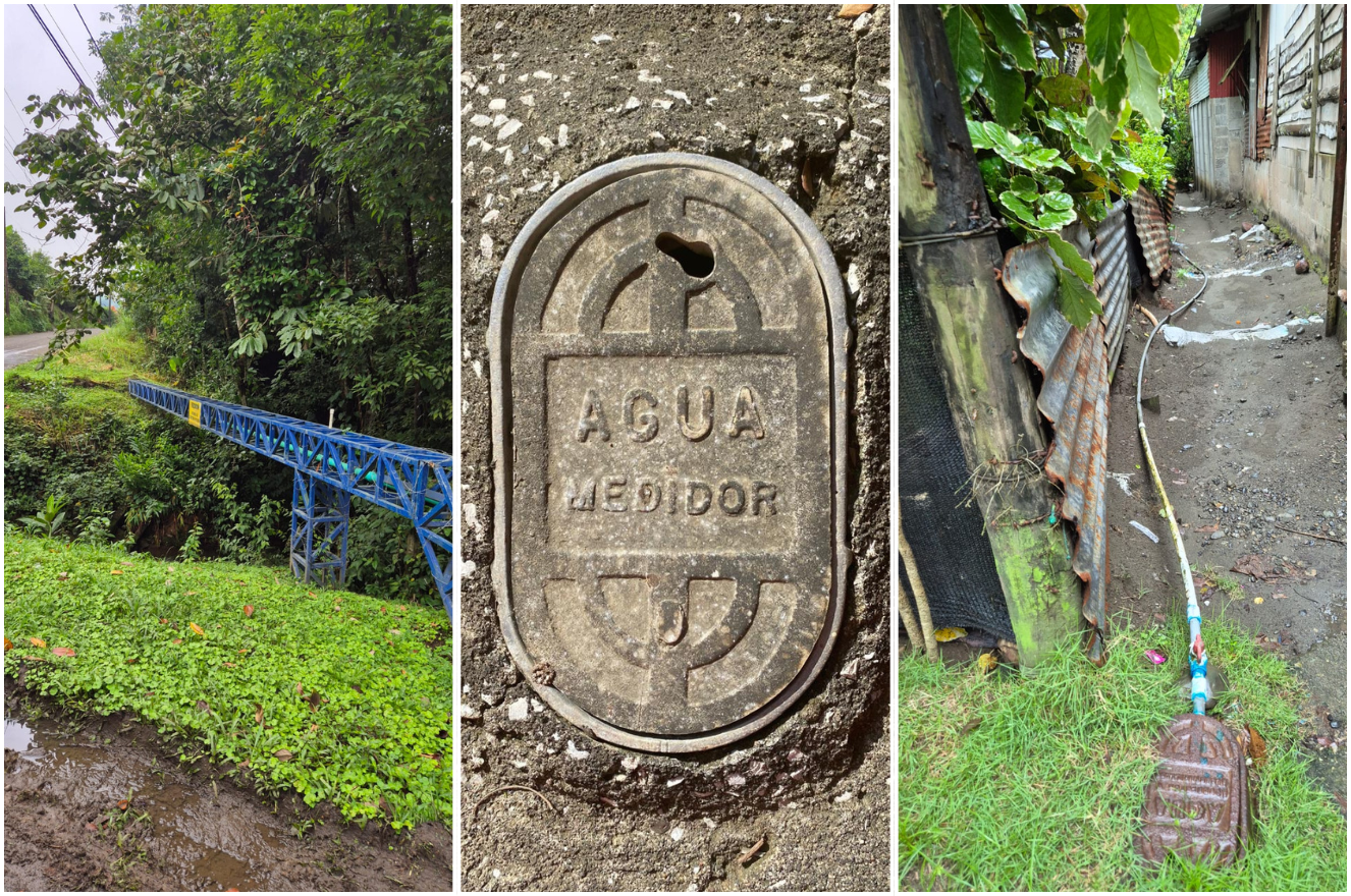
- Potable Water: The fundamental right to water cannot be guaranteed. Ciudad Quesada, Liberia, and Limón failed to achieve a minimum of one connection per property in any sector, while Turrialba lacked sufficient information. In the second phase, significant connection gaps persisted in Nicoya and Quepos, while an absolute lack of georeferenced data completely prevented evaluation in Aguas Zarcas and Orotina.
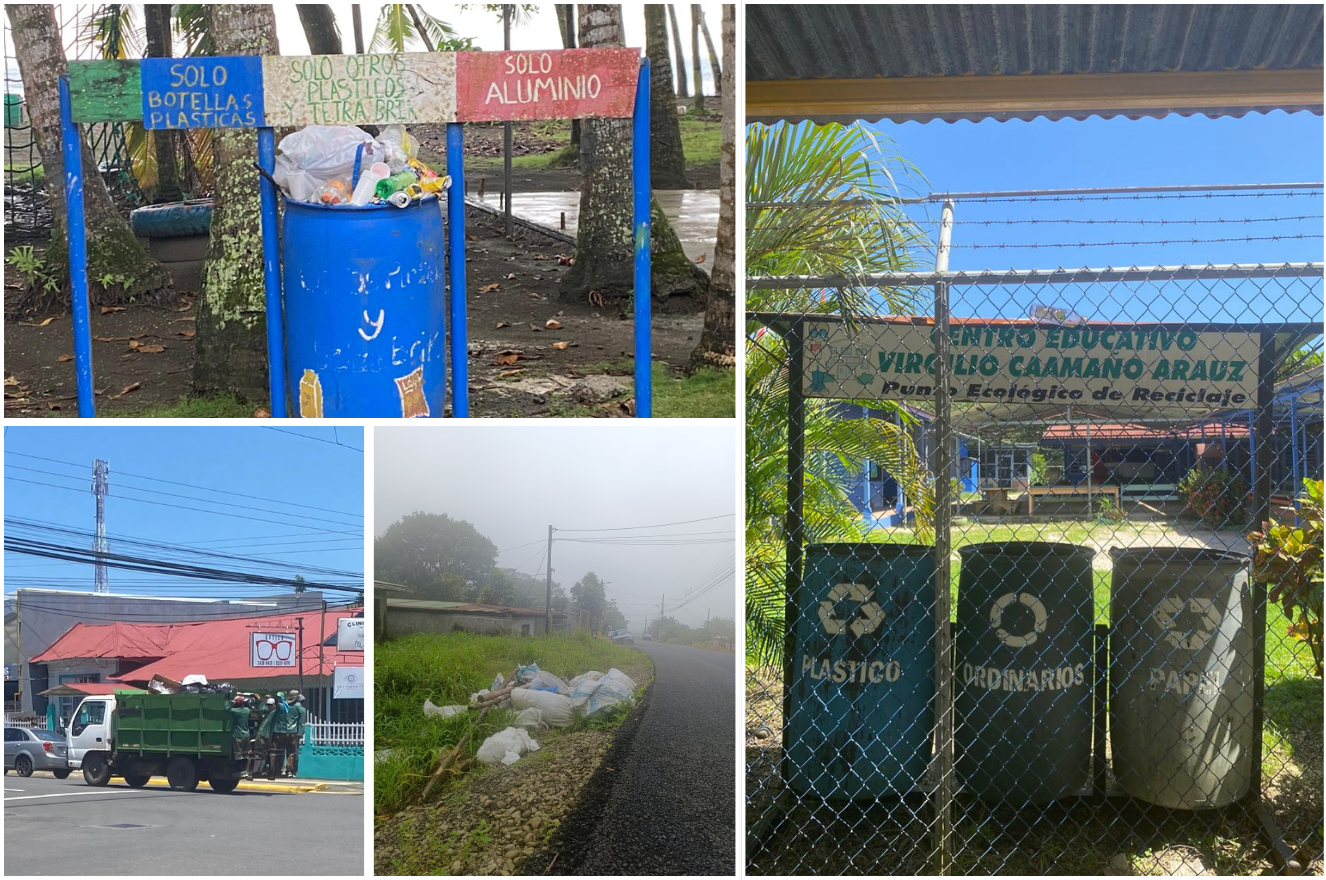
- Solid Waste Collection: Both phases revealed incomplete coverage concentrated in peripheral areas. Deficiencies were prominent in the outskirts of Liberia, Limón, and Pérez Zeledón during the first phase, and remained unresolved in Aguas Zarcas and Nicoya during the second.
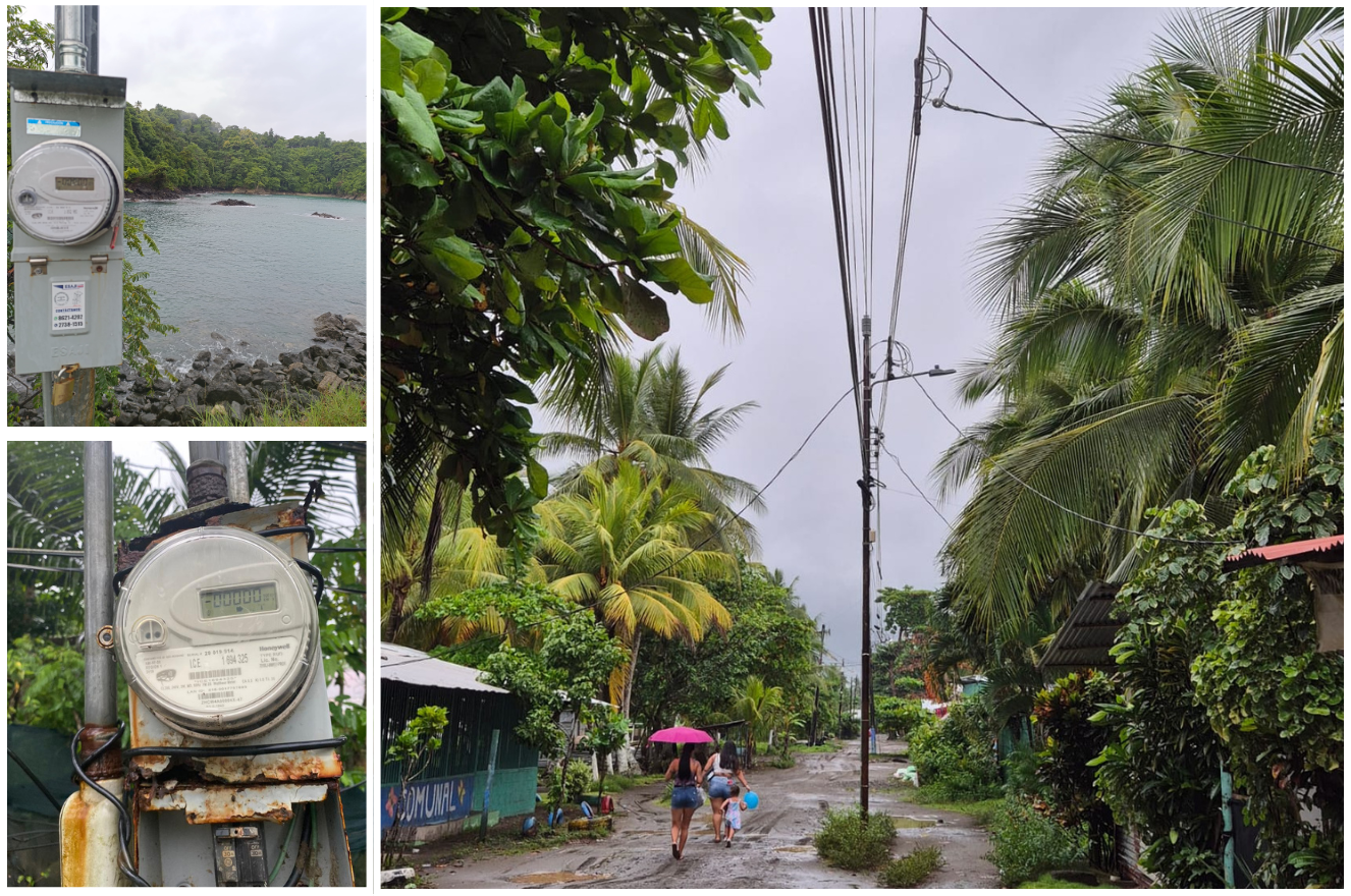
- Electricity and Smart Grids: While basic electricity is accessible, the modern transition to smart meters is highly unequal. Pérez Zeledón presented two clusters with critically low smart meter coverage, Puntarenas lacked minimum coverage entirely, and cities in the second phase showed incomplete deployment.

B. Social Infrastructure & Mobility (Education, Healthcare, and Transport)
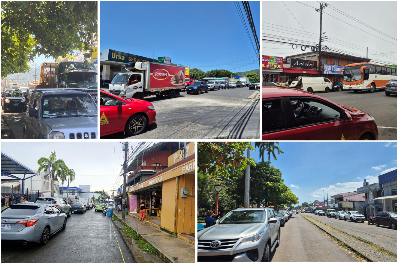
- Urban Mobility and Congestion: Severe traffic congestion plagued almost all intermediate city centers (such as Nicoya and Quepos), with rare exceptions found only in specific low-density clusters in Liberia and Puntarenas.
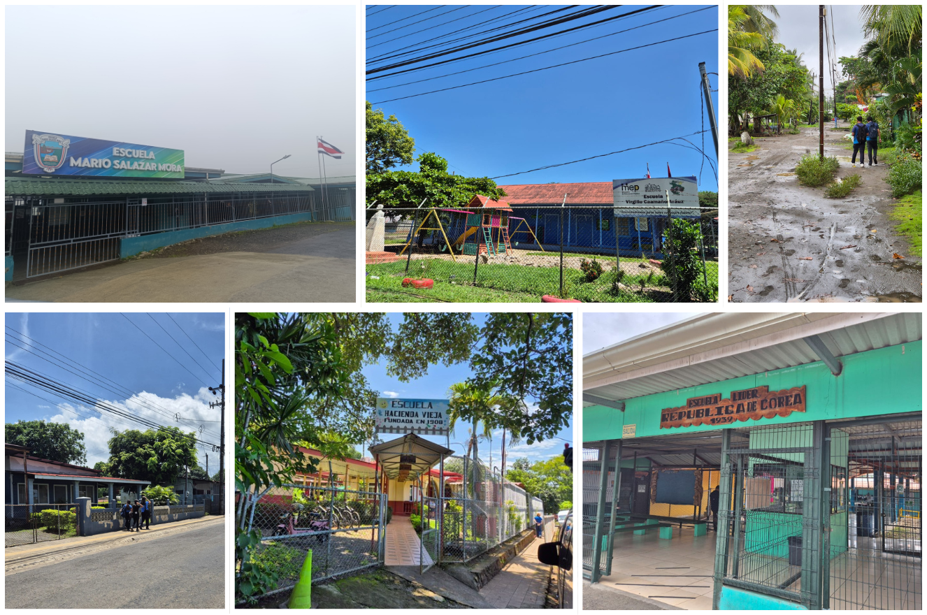
- Education Access: The 2025 expansion revealed that primary school students living over a kilometer away from educational centers faced distinct disadvantages due to the total absence of public student transport programs in Quepos, Aguas Zarcas, and Orotina.
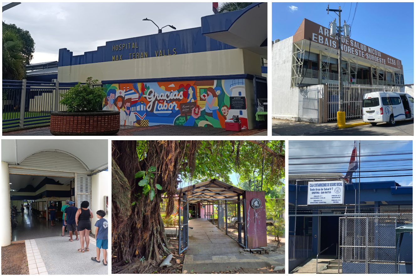
- Healthcare Delays: In Quepos, structural planning flaws forced vulnerable populations to endure commutes exceeding four kilometers just to reach primary healthcare units, severely delaying access to essential medical services.
C. Digital Infrastructure & The Data Governance Crisis
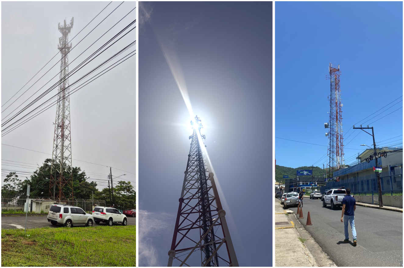
- Telecommunications (4G vs. 5G): While 4G mobile internet is widely available in the second-phase cities, the first phase caught significant coverage blind spots in specific clusters of Ciudad Quesada, Guápiles, Liberia, Limón, and Pérez Zeledón. Looking forward, 5G deployment is severely bottlenecked; except for the Municipality of San Carlos, local governments lack harmonized regulations to deploy 5G infrastructure.
- The $4 Million Information Gap: A major systemic finding was the failure of data transparency. Despite a state investment exceeding $4 million to improve official information systems, operators failed to provide accurate georeferenced data. Furthermore, most institutions failed to update the National Territorial Information System (SNIT), creating data blind spots that actively hinder audit tracking and public decision-making.
Expected Effect and Institutional Impact
At the local level, these audits are structured to catalyze tangible improvements in public service delivery across intermediate cities. By pinpointing precise infrastructure and coverage gaps—particularly those affecting vulnerable populations—the findings provide actionable pathways toward more equitable municipal management.
To address these systemic failures, the SAI issued binding directives mandating that local governments and key utility operators co-create integrated planning mechanisms aligned with the 2020–2050 Strategy. Additionally, the mandates enforce standardized public service data publication within the National Territorial Information System (SNIT) and the immediate harmonization of municipal regulations to streamline telecommunications infrastructure deployment. Once implemented, these audit directives will directly help reduce territorial disparities, enhance the quality of life for urban residents, and promote inclusive environments aligned with the core principles of sustainable development and the right to the city.
Beyond local improvements, the strategic insights are designed to harmonize decentralized urban development with national macroeconomic objectives. By evaluating how current public services either support or hinder the National Territorial Economic Strategy, the audits establish a baseline for targeted, coordinated institutional interventions. This alignment ensures that future infrastructure optimization, utility provision, and technological advancements are leveraged effectively to boost regional connectivity and economic dynamism.
Crucially, these performance audits offer a transformative blueprint for other public auditing organizations by demonstrating how advanced technology and interdisciplinary methods can be integrated into traditional frameworks. The successful application of open-source software, such as QGIS for spatial data analysis and R for hierarchical clustering, proves that data-driven tools can drastically enhance the precision and depth of audit findings without requiring prohibitive financial investments. Furthermore, incorporating systems thinking tools introduces a dynamic approach to evaluating complex public sectors. Ultimately, by setting this methodological precedent, this framework provides other SAIs with a replicable model to modernize their practices, leading to more robust, insightful, and high-impact oversight worldwide.
Lessons Learned
- Methodological Resilience in Data-Scarce Environments: Major data gaps, such as the unavailability of official national census data, can be effectively mitigated by pivoting to alternative georeferenced data, urban footprints, and advanced spatial techniques.
- Technical Upskilling and Digital Innovation: Incorporating advanced programming languages (e.g., R Studio) and geospatial software (e.g., QGIS) allows traditional public sector assessment frameworks to transition toward robust data analytics, heat mapping, and geovisualization, even when building capabilities from baseline technical knowledge.
- Systems Thinking and Resource Interdependency: Effectively evaluating complex urban environments requires moving beyond isolated metrics to identify key variables and map their systemic, dynamic interdependencies.
- Multistakeholder Collaboration and Validation: Engaging a diverse network of over 100 participants—including local governments, national statistical institutes, and external technical experts—is vital for validating non-traditional methodologies and fostering the co-creation of actionable solutions.
- Institutional Scalability and Future Automation: Documenting and systematically sharing innovative methodologies enables seamless internal knowledge transfer, integration into future strategic projects, and long-term scaling toward automated, continuous, and AI-driven frameworks through strategic academic alliances.